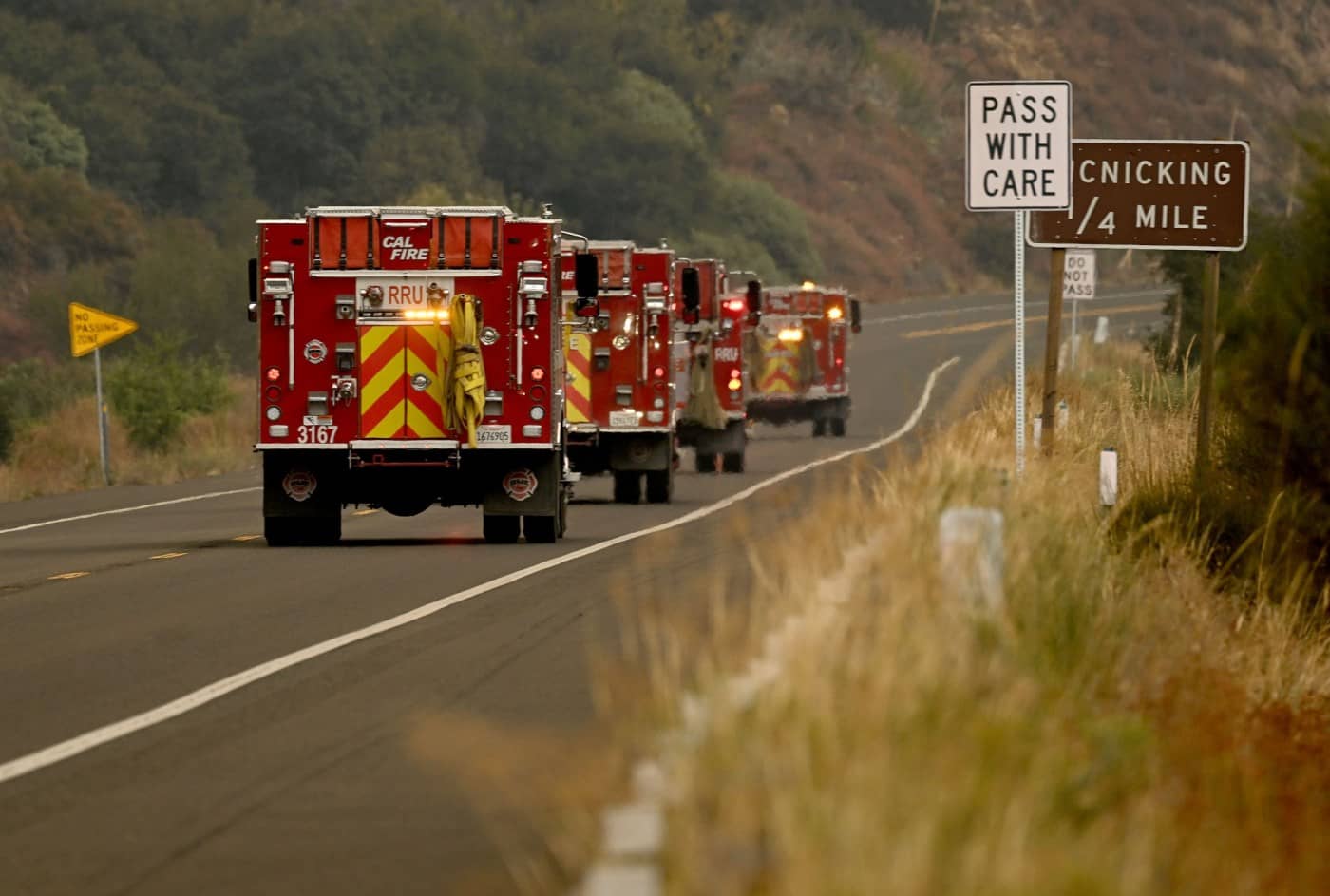
Although the massive Line fire in the San Bernardino National Forest is burning toward the resort community of Big Bear, no evacuation orders were in place there on Tuesday, Sept. 10, and incident commanders were confident in firefighters’ ability to stop the march of the flames.
“Right now, the fire is laying down,” Cal Fire Battalion Chief Brent Pascua said at about 8:30 a.m. “Things are looking good as far as that section of the fire.”
For more, see: Map shows Line fire evacuations, location, road closures
Ground and air crews were focusing on that area, Pascua said. Officials had said at a news briefing Monday night that winds from the southwest were expected to push the flames through steep terrain and dry brush to the northeast toward Big Bear in the next 36 hours.
An evacuation warning was issued for the Big Bear Dam area “out of an abundance of caution,” Pascua said.
A warning means that residents should prepare to leave by gathering important possessions and planning an escape route and medication, should the threat increase. An evacuation order means residents are required to leave.
The acres burned grew overnight by about 2,700 to 26,426.
The containment remained at 5%. Containment is the percentage of the blaze’s perimeter officials believe flames will not go beyond, because of natural barriers such as rocks or water bodies or the work of firefighters.
Pascua said crews expect to receive a boost from the lower temperatures — well below previous triple-digit highs — that were forecast for the remainder of the week.
“They’re going to help tremendously,” Pascua said.
He added that there have been no firefighter injuries since the blaze’s first day on Thursday.
The fire started Thursday in Highland. The cause remained under investigation Tuesday.
Evacuation orders in place on Tuesday:
• The area from Calle Del Rio to Highway 38, including Greenspot Road North
• All underdeveloped land east of Highway 330 to Summertrail Place and north of Highland Avenue
• The areas of Running Springs east of Highway 330 and south of Highway 18
• The communities of Running Springs and Arrowbear Lake
• The area east of Orchard Road to Cloverhill from Highland Avenue north to the foothills
• North of Highland Avenue and East of Palm Avenue to Highway 330
• Garnet Street east to Highway 38 and Mill Creek north to the foothills
• Forest Falls
• Mountain Home Village
• Angelus Oaks, Seven Oaks and all campgrounds and cabins in the area
Evacuation warnings were in place for:
• From Boulder Avenue east to Church Street and Greenspot Road north to the foothills
• Church Street east to the city limit and from the foothills south to Greenspot Road
• Green Valley Lake north of Highway 18
• The communities of Cedar Glen, Lake Arrowhead, Crestline and Valley of Enchantment
Related Articles
Watch how close Airport fire comes to Santiago Peak
Fast-moving Airport fire in Orange County continues to grow — now at 9,000 acres
Airport fire leads to school closures in Orange, Riverside counties Tuesday, Sept. 10
Unhealthy air quality plagues Southern California as wildfires, extreme heat persist
Some residents’ nerves ease despite continued spread of Line fire in the San Bernardino Mountains


