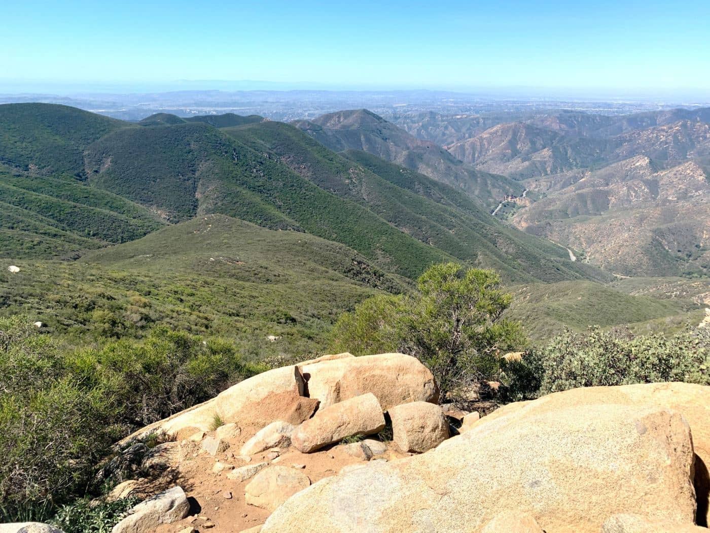
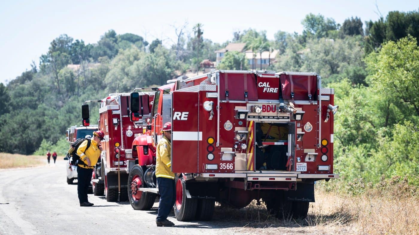
Several hiking trails in the Cleveland National Forest were closed in the wake of last month’s Airport fire; authorities opened some over the weekend, but warn others could be closed for the next year.
Since it sparked Sept. 9, the wildfire burned more than 23,500 acres – it was declared 100% contained on Oct. 6 – and destroyed some 160 structures.
Crews from the U.S. Forest Service’s BAER (Burned Area Emergency Response) team have been assessing the damage to the burn area, looking at the burn scar for soil erosion, flooding and debris flow as the region moves into the rainy season, said Jake Rodriguez, a spokesperson for the U.S. Forest Service.
Several trails were reopened in time for the weekend, but many more remain closed. Areas with damage will take some time to reopen.
“We’ll need to go through the process of evaluating what was damaged,” said Rodriguez. “It burned over or partially burned over San Juan Trail, Los Pinos Trail and Holy Jim Trail.”
Hiker Jinny Carreon takes photos from Sitton Peak in March, 2022. Many trails are closed in Cleveland National Forest in the aftermath of the Airport fire. (Photo by Paul Bersebach, Orange County Register/SCNG)
Currently, the closure order lasts until September 2025 and covers the Trabuco Ranger District.
Recreation areas, including the Falcon, El Cariso and Blue Jay campgrounds, will need further assessments.
OC Parks had closed Caspers Wilderness Park, including its campground, through at least Oct. 7. Check online if it has reopened at ocparks.com/caspers.
Riley Wilderness Park, O’Neill Regional Park and Bell View Regional Trail were all temporarily closed due to their proximity to the evacuation zones, but have all reopened.
None of the trails managed by the Irvine Ranch Conservancy were affected.
Here is a list of some of the popular trails and their general location; trails are closed unless otherwise noted:
Trails near Trabuco Creek Road and Saddleback Mountain:
• Holy Jim Trail
• Trabuco Canyon Trail
• Indian Truck Trail
• Harding Truck Trail
• North Main Divide Road – open from Bedford Peak to Sierra Peak)
• Coldwater Canyon Trail
• Eagle Road – open to non-motorized use, but only at legal access points
• Bedford Road (Bedford Motorway) – open to non-motorized use, but only at legal access points
• Joplin Trail
• Trabuco Canyon Road
• Silverado Trail
• Ladd Canyon Trail – open
• Maple Springs Road
• Horsethief West and East Trail
Near Ortega Highway (Ortega Oaks Candy Store):
• San Juan Trail
• Viejo Tie Trail
• North Main Divide Road – portions closed south of Bedford Peak
• Chiquito Trail
• Los Pinos Trail
• San Juan Loop Trail
• El Cariso Nature Trail
• Sitton Peak Road – open to non-motorized use
• Bear Canyon Trail – open
• Falcon Trail
• Hot Springs Canyon Road
• Morgan Trail – open
• Indian Potrero Trail – open
Near La Cresta (south of Lake Elsinore):
• South Main Divide Road – open
• Wildomar OHV area – open
• Cold Springs Trail – open
• San Mateo Trail – open
• Wildomar Truck Trail – open
• Fisherman’s Camp Trail – open
• Tenaja Trail – open
• Tenaja Falls Trail – open
Related Articles
Holy Jim was a sanctuary from modern life. After this latest fire, it could soon become a memory
Incorporating defensible space in landscaping helps protect against wildfires
Head of OC Public Works, the agency blamed for sparking Airport fire, no longer working for county
Federal, OC fire agencies fight over policies that could leave wildlands exposed to blazes
Residents affected by Airport fire begin filing claims against County of Orange


